You are here:

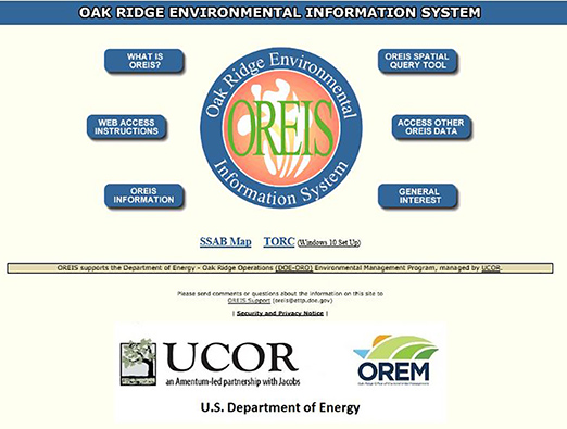
Oak Ridge Environmental Information System (OREIS)

Graphic: Maps related to OREIS

The basic mission of OREIS is efficient retrievability and long-term retention of Department of Energy-Oak Ridge Operations (DOE-ORO) environmental data. Its primary users include DOE and its contractors and subcontractors who perform environmental restoration, compliance, and surveillance activities. Other users include the EPA, TDEC, other agencies, and the public.

OREIS is a centralized, standardized, quality-assured, and configuration-controlled environmental data management system. It is comprised of hardware, commercial software, customized integration software, the OREIS environmental measurements database, a geographic database, a spatial query tool, and documentation. OREIS fulfills the environmental information management obligations of the Department of Energy-Oak Ridge Operations DOE-ORO under an enforceable Federal Facility Agreement Docket No. 89-04-FF under Section 120 of the Comprehensive Environmental Response, Compensation, and Liability Act (CERCLA) and Sections 3008(h) and 6001 of the Resource Conservation and Recovery Act of 1976 (RCRA). Given the advantages and cost-effectiveness of computer technology for managing massive amounts of data, parties to the Federal Facility Agreement and the Tennessee Oversight Agreement chose to create OREIS in order to automate the centralized storage and retrieval of environmental data.

The objectives of OREIS are to maintain data that are complete, consistent, and fully qualified as to their usability; to provide ease of accessibility of environmental data that support environmental planning, analysis, and decision making; to facilitate the efficient access, reporting, analysis, display, mapping, import, and export of data; to minimize the uncertainties associated with data, data products, and interpretation of results by strictly controlling data input, revision, and storage; to ensure that metadata are available for establishing the legal defensibility of the data and data products; and to minimize duplicative costs to DOE for data collection, management, analysis, and reporting as contractor and subcontractor changes occur.

The scope of OREIS includes data supporting environmental restoration, compliance, and surveillance activities. Environmental data in OREIS include known quality measurement and spatial data from the following environmental media: groundwater, surface water, sediment, soil, air, and biota. The types of environmental data within OREIS include but are not limited to chemical, biological, ecological, radiological, geophysical, and lithological data. In addition to environmental measurement data, the OREIS data base contains extensive descriptive and qualifier metadata to help document data quality and to enable end users to analyze the appropriateness of the data for secondary uses. OREIS contains both validated and unvalidated data as determined by the originating organization. To ensure that the quality of the data is known, OREIS flags the data validation status. The scope does not include project-specific activities (e.g., sample tracking, field results data entry, equipment calibration records) or project control tools (e.g., cost accounting or milestone tracking) which are available through other computer systems.

How to Obtain Login Credentials

Send an email to oreis@orcc.doe.gov requesting an OREIS account and include your name, e-mail address, telephone number, and organizational affiliation.

OREIS Support

oreis@orcc.doe.gov
(865) 576-4847

OREIS Website

https://oreis.orcc.energy.gov

HAVE ANY QUESTIONS
JOB OPPORTUNITIES
FOLLOW US ON SOCIAL MEDIA
HAVE ANY QUESTIONS
JOB OPPORTUNITIES
FOLLOW US ON SOCIAL MEDIA